



Navigation for mobile robots and AGVs
As flexibility is increasingly playing a central role, transport processes are increasingly being carried out by automated guided vehicles (AGVs) and autonomous mobile robots (AMRs). To enable these vehicles to independently recognize their paths within a facility and navigate safely, a suitable sensor system for detecting and mapping the environment is required. Various navigation concepts and technical solutions are available for this purpose.
For applications in a largely static environment, simple navigation methods can be used. These include, for example, track guidance using optical or magnetic guide lines, as well as path control via defined reference points. This method is often referred to as grid navigation.
In dynamic environments with changing conditions, however, it is necessary to continuously detect and evaluate the environment. This is where what is known as natural navigation comes into play, based on the principle of SLAM (Simultaneous Localization and Mapping). In this process, the robot determines its own position within the environment and simultaneously creates a digital map of its surroundings.
Modern sensor systems such as LiDAR, cameras, and ultrasonic or radar sensors enable reliable environment perception. Based on this information, the robot can independently plan its routes, avoid obstacles, and react flexibly to changes, such as people or other moving objects in its path.

Navigation in practice
Reliable navigation is a key requirement to control the path of mobile robots and automated guided vehicles (AGVs). Depending on the requirements of the specific application, various navigation concepts and types of sensor technology are available for this purpose. Selecting the appropriate solution depends, in particular, on the environmental conditions as well as the accuracy and reliability required for position determination.
Sensor applications in detail
1. Environment detection and navigation of mobile robots or AGVs
Requirement:
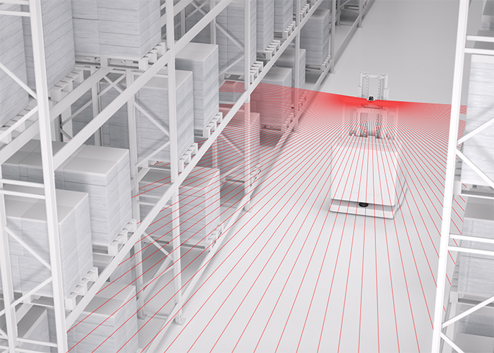
If the principle of natural navigation is used independently of the safety application, the sensor should provide measurement data for environment detection and further processing in the navigation software at the appropriate quality level. Safety is then addressed separately.
Solution:
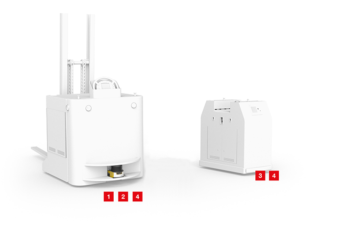
The ROD 300 / ROD 500 measuring laser scanner with LiDAR technology delivers high-quality measurement data with a minimum angle resolution of 0.025° and a measurement range of up to 25 m. This enables a highly accurate map of the environment to be created, which can be used for autonomous vehicles and robots to precisely navigate.
2. Path control with optical guidance / line tracking
Requirement:
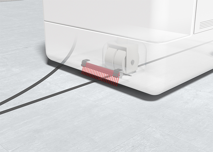
For compact AGVs that follow a predetermined path, the route is controlled using a marked track or line. Even particularly low-profile vehicles should be able to be equipped with this system.
Solution:
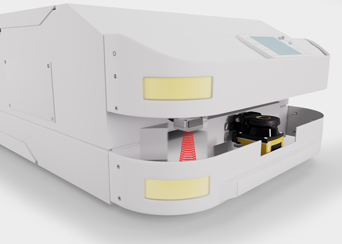
With a ground clearance of just 10 mm, the optical OGS 600 guidance sensor can detect the track edges and follow the marked route via a signal sent to the vehicle control system.
3. Grid navigation with RFID
Requirement:
In damp or dirty environments, AGVs and AMRs can navigate using transponders or data carriers installed in the floor. These serve as robust reference points that the vehicle uses to determine its position and reliably follow the intended path.
Solution:
The RDH 200 readers feature a compact design and low power consumption, making them easy to integrate into mobile robot systems and quick to put into operation. The content of the data carrier is assigned to a defined relative position via a stored table. Based on this positional information, the AMR or AGV can navigate and, if necessary, make positional corrections to continue traveling precisely.
4. Grid navigation with optical codes
Requirement:
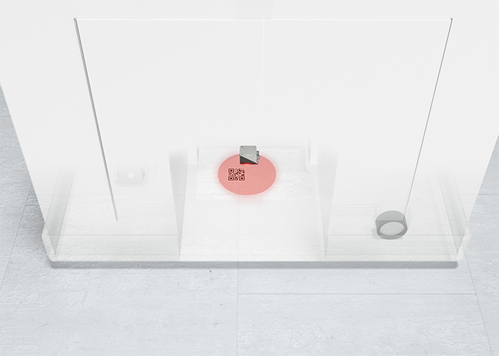
Navigation using code labels attached to the floor enables precise grid navigation for mobile vehicles. The defined reference points serve as position markers, which the vehicle uses to determine its position and reliably follow the specified routes.
Solution:
The compact and easy-to-integrate DCR 200i code reader detects the codes attached to the floor as well as the respective rotation angle as the vehicle passes over them. With a working range of up to 350 mm and a wide range of available interfaces, they enable flexible, straightforward integration into mobile vehicles.